Aug 10, 2026
Driving to Fort Collins With a Dog: 7 Front Range Cities Ranked
Most dog driving guides are really about elevation. On the Front Range every approach city sits within 1,500 feet of Fort Collins, so the things that matter are traffic, wind, and paperwork.
Fort Collins, Colorado11 min readGetting There
Most dog-travel driving guides are really about temperature. You leave somewhere hot, you climb, and the arithmetic of elevation does the work.
The Front Range does not work that way, and it is worth knowing before you plan around the wrong thing.
Every major approach to Fort Collins sits within about 1,200 feet of it. Using National Weather Service station elevations, Fort Collins and Loveland share a station at 5,016 feet. Greeley is 4,698. Boulder is 5,288. Denver International is 5,404. Broomfield, between Denver and Boulder, is 5,551. Cheyenne is 6,116. Colorado Springs is 6,186.
That is a range of under 1,500 feet across five cities and two states. Nobody is escaping heat by driving here. So the things that actually vary are traffic, wind, whether you cross a state line, and where you can legally stop with a dog. Ranked on those.
1. Loveland
Same National Weather Service station as Fort Collins, at 5,016 feet, roughly fifteen minutes south on US-287 or Interstate 25.
The easiest approach there is. No elevation change, no state line, no interstate mileage worth mentioning, and a genuinely good dog stop on the way in.
Stop at Devil's Backbone Open Space. West of Loveland, 3,007 acres with 17.25 miles of trail connecting through to Horsetooth Mountain Open Space. Larimer County allows a leash of up to ten feet. Access points are ranked in Horsetooth Reservoir and Horsetooth Mountain with a dog.
One warning on that stop. Devil's Backbone trails connect to Rimrock Open Space, where Larimer County prohibits dogs entirely. Know where that boundary is.
2. Greeley
4,698 feet, the lowest of the seven, roughly forty minutes east on US-34 and then north.
Flat, fast, and uncomplicated. No mountain driving, no pass, no interstate congestion. On a hot day you are climbing about 300 feet, which is nothing.
The good news for a stop. The Poudre River Trail system runs through the corridor between the two cities, and the Fort Collins natural areas at the eastern end of town are the first thing you reach. Options are in the Poudre is Colorado's only Wild and Scenic river.
3. Cheyenne, Wyoming
6,116 feet, roughly forty-five minutes north on Interstate 25, and the only short approach that is downhill into Fort Collins.
It crosses a state line, which matters more than most people realise. The ASPCA's travel safety guidance advises bringing your pet's rabies vaccination record when travelling across state lines, and checking with your vet whether a health certificate, formally a certificate of veterinary inspection, is required.
The stretch of I-25 between Cheyenne and Fort Collins is exposed. High wind is routine and closures happen. Check CDOT's travel page and COtrip before setting off in winter, and the National Weather Service Cheyenne office for wind.
4. Boulder
5,288 feet, roughly an hour via US-36 and Interstate 25, or the slower and prettier US-287.
Almost identical elevation, so this is purely a drive-time and traffic question. The US-36 corridor moves well outside peak hours and badly within them.
Boulder has its own strict dog rules, and the habits they teach do not transfer. Larimer County defines physical control as excluding voice command and electronic devices, and permits a leash of up to ten feet. Fort Collins city natural areas require six. Assume the stricter number and you will not be fined.
5. Denver
5,551 feet at the Broomfield station between the two cities, roughly an hour and five minutes up Interstate 25 with no traffic, and considerably more with it.
This is the traffic one. The I-25 north corridor out of Denver is the single most congested stretch of any approach on this list, and it is worst on Friday afternoons and summer weekends.
Plan a stop, because you will need one. A dog in a stationary car on I-25 in July is in a hot box, and there is nowhere to pull off along much of it. Leave early, or leave late.
6. Denver International Airport
5,404 feet, roughly an hour and twenty minutes, and the case that applies if you are flying in with a dog.
The dog has just had the worst day of its life. Whether it flew in the cabin or in cargo, the sensible plan is a genuine walk before the drive rather than after it. Then drive.
Do not stop at a natural area you have not checked. Seven City of Fort Collins natural areas and three Larimer County properties ban dogs outright, and Soapstone Prairie bans them even inside a parked car. The list is in the 7 natural areas where Fort Collins bans dogs.
Go straight to a fenced park instead. Four of them, ranked in 4 Fort Collins off-leash dog parks, all open 5 a.m. to 11 p.m.
7. Colorado Springs
6,186 feet, the highest of the seven, and roughly two and a quarter hours, most of it on Interstate 25 straight through Denver.
Last because of the Denver problem. You inherit the worst traffic on the list in the middle of the longest drive, which turns a two-hour trip into three on a bad afternoon.
Break the journey properly. This is the one approach where a mid-route stop is not optional. Plan it in advance, because improvising a dog stop on I-25 through metropolitan Denver is not realistic.
The seven at a glance
| Rank | From | Elevation | Approx. drive | State line |
|---|---|---|---|---|
| 1 | Loveland | 5,016 ft | 15 min | No |
| 2 | Greeley | 4,698 ft | 40 min | No |
| 3 | Cheyenne, WY | 6,116 ft | 45 min | Yes |
| 4 | Boulder | 5,288 ft | 1 hr | No |
| 5 | Denver | 5,551 ft | 1 hr 5 min plus traffic | No |
| 6 | Denver International | 5,404 ft | 1 hr 20 min | No |
| 7 | Colorado Springs | 6,186 ft | 2 hr 15 min | No |
Elevations are National Weather Service station figures for each area. Drive times are approximate and traffic-dependent.
The one real mountain approach: Laramie
7,270 feet, roughly an hour and ten minutes south-east over the Laramie Range on US-287, and the only approach on this page with genuine elevation change.
It is 2,250 feet above Fort Collins. Coming in, your dog descends into thicker air, which is the easy direction. Going home is the harder one, and it crosses the roughly 8,000-foot line at which veterinary guidance places the onset of altitude sickness in pets less comfortably than the other routes.
US-287 over the range is a serious winter road. Wind, ground blizzards, and closures are normal, and there are long stretches with no services. Check conditions with CDOT and the National Weather Service Cheyenne office before you commit, and carry water and a blanket for the dog as well as yourself.
It also crosses a state line, so the rabies record applies.
Rules for every one of these drives
Never leave the dog in the car. Not in summer, not in winter, not with the windows cracked. Colorado sun at 5,000 feet heats an interior fast, and Front Range nights drop below freezing for months.
Test the ground at every stop. Interstate rest areas and petrol station forecourts are unshaded asphalt in full sun. Thermal injury to paw pads becomes a risk from around 77 degrees of air temperature, when asphalt reaches roughly 125 degrees, and at 87 degrees of air it reaches roughly 143. Check with the back of your hand for seven seconds before you let a dog out.
Prepare the dog for the car, not just the trip. ASPCA guidance is to build up with a series of short drives, gradually lengthening the time spent in the vehicle.
Carry the rabies record on any interstate route, and check whether a certificate of veterinary inspection is required.
Carry more water than you think. Colorado air is dry at every elevation on this list, and dry air pulls water out of a panting dog whether or not it is hot.
Know where you are going when you arrive. Fort Collins has excellent emergency cover, with four hospitals open around the clock, set out in emergency and after-hours vets in Fort Collins, and a specific set of regional hazards covered in 9 Colorado hazards that catch Fort Collins dog owners off guard.
Packing the car for a Front Range drive
Because the elevation gradient is flat, the packing list here is different from the one you would take on a mountain trip, and shorter.
A hard water container rather than a bottle. Dry air at 5,000 feet means the dog will drink more than it does at home, and you will refill more often than you expect on a two-hour drive.
A towel, in every season. Summer for wet dogs at the Poudre, winter for snow and road salt, spring for mud. The Front Range manages to be dusty and slushy in the same week.
A six-foot lead, not a ten-foot one. The county allows ten feet and the city allows six, so a six-foot lead is legal everywhere you might stop. Carrying only the longer one guarantees a moment when you are technically in violation.
A coat for a short-coated dog, even in July. The diurnal swing on the Front Range is large, and an evening arrival at 5,000 feet is a different temperature from the afternoon you set off in.
Poo bags, more than you need. Fort Collins requires immediate removal of waste from any property you do not occupy, and Larimer County requires you to pack it out at open spaces where dogs are permitted at all.
A printed copy of your rabies record if any part of the route crosses into Wyoming or Nebraska, alongside whatever is on your phone. Signal is unreliable on US-287 over the range.
And a plan for where you are stopping. That is the whole difference between a good Front Range drive and a bad one.
Where to go first on arrival
If the dog needs to run, one of the four fenced parks. Spring Canyon Park at 2626 W. Horsetooth Road, Fort Collins, CO 80526 has parking beside the gate.
If the dog needs to walk, one of the 40 city natural areas that permit leashed dogs, or the Poudre corridor.
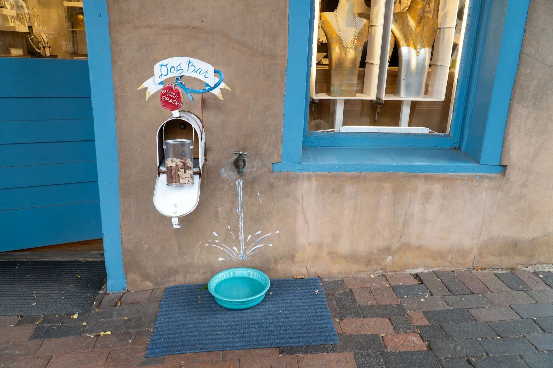
If you need a drink, Old Town, where water bowls are put out along the streets and two breweries admit dogs indoors. That circuit is in Old Town Fort Collins with a dog and the beer specifics are in 4 Fort Collins breweries that take dogs.
If you are heading for the mountains next, know that Rocky Mountain National Park bans dogs from every trail it has. Alternatives are in Rocky Mountain National Park won't take your dog.
Frequently asked questions
How far is Fort Collins from Denver with a dog? Roughly an hour and five minutes up Interstate 25 without traffic, and considerably longer with it. The elevation difference is minimal, so the only real variable is congestion.
Do I need paperwork to drive my dog from Wyoming to Colorado? ASPCA guidance is to carry your pet's rabies vaccination record when crossing state lines and to check with your vet whether a certificate of veterinary inspection is required.
Is Fort Collins higher than Denver? No. The National Weather Service station serving Fort Collins and Loveland sits at about 5,016 feet, while the Broomfield station between Denver and Boulder is about 5,551 feet.
Which approach to Fort Collins is the easiest with a dog? Loveland, at roughly fifteen minutes with no elevation change and Devil's Backbone Open Space as a stop on the way in.
Which approach is hardest? Colorado Springs, at roughly two and a quarter hours through the worst of the Denver traffic, with few realistic dog stops en route.
Is the drive from Laramie difficult? It is the only approach with real elevation change, descending about 2,250 feet, and US-287 over the Laramie Range is a serious winter road with wind, closures, and long stretches without services.
Related reading
For the drive: road trips with your dog, road trip checklist, pre-travel pet checklist, and PetCompass hotel directory.
Sources
- City of Fort Collins, Spring Canyon Park
- National Weather Service, Denver and Boulder forecast office
- National Weather Service, Cheyenne forecast office
- Colorado Department of Transportation, travel
- COtrip, Colorado travel conditions
- ASPCA, travel safety tips
- Larimer County, Devil's Backbone Open Space
- Larimer County Natural Resources, regulations
- City of Fort Collins, Natural Areas
- City of Fort Collins, Parks
- Visit Fort Collins, pet-friendly itinerary
- NoCo Humane, Fort Collins animal control
Elevations are National Weather Service station figures and differ slightly from town-centre elevations. Drive times are approximate and vary considerably with traffic, weather, and road closures. Surface temperatures depend on material, colour, wind, and cloud cover, so always test the ground yourself. This article is general information and is not veterinary advice.